As part of our ongoing series on earthquake reconnaissance and education, the Reid Middleton team wanted to share some notes from our reconnaissance trip to Chile following the February, 2010 earthquake. The report is below.
The Earthquake
On Saturday, February 27, 2010 at 3:34 AM (local time), the Maule region of Chile was struck by an 8.8-magnitude earthquake as the boundary between the Nazca and the South American plates ruptured along an offshore section. The area of rupture extended over 60 miles in width and nearly 300 miles in length along the Chilean cost. A similar event along the Cascadia Subduction Zone would extend from Vancouver, B.C. to Portland, OR, and from the coast to the I-5 corridor.
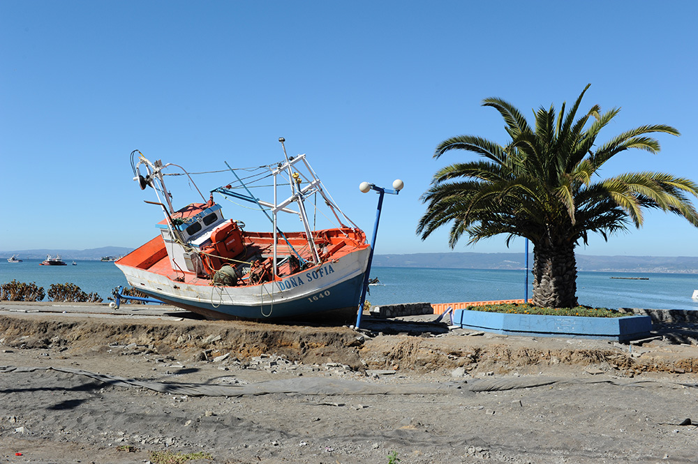
The M8.8 earthquake and series of 21 aftershocks greater than 6.0 in magnitude affected an area populated by approximately two million people and generated a tsunami that severely impacted Chile’s west coast and was felt across the Pacific Ocean. The earthquake and tsunami resulted in over 500 fatalities, damaged approximately 200,000 houses, and caused an estimated $30 billion in direct losses.
Our Team
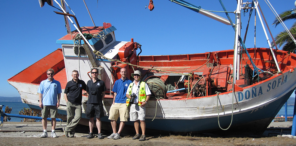
Recognizing the impacts this earthquake may have on the Pacific Northwest, we had the opportunity to participate with the Structural Engineers Association of Washington (SEAW) reconnaissance team of engineers to observe and evaluate damage in the affected areas. We traveled to the metropolitan cities of Concepción and Santiago, the coastal towns of Talcahuano and Constitución, and inland towns including Talca, Chillán, and Maipu to observe the earthquake/tsunami damage, document our observations, and learn from the behavior of high and low performance structures.
Damage Summary
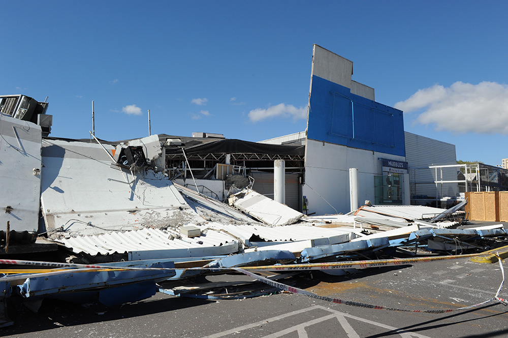
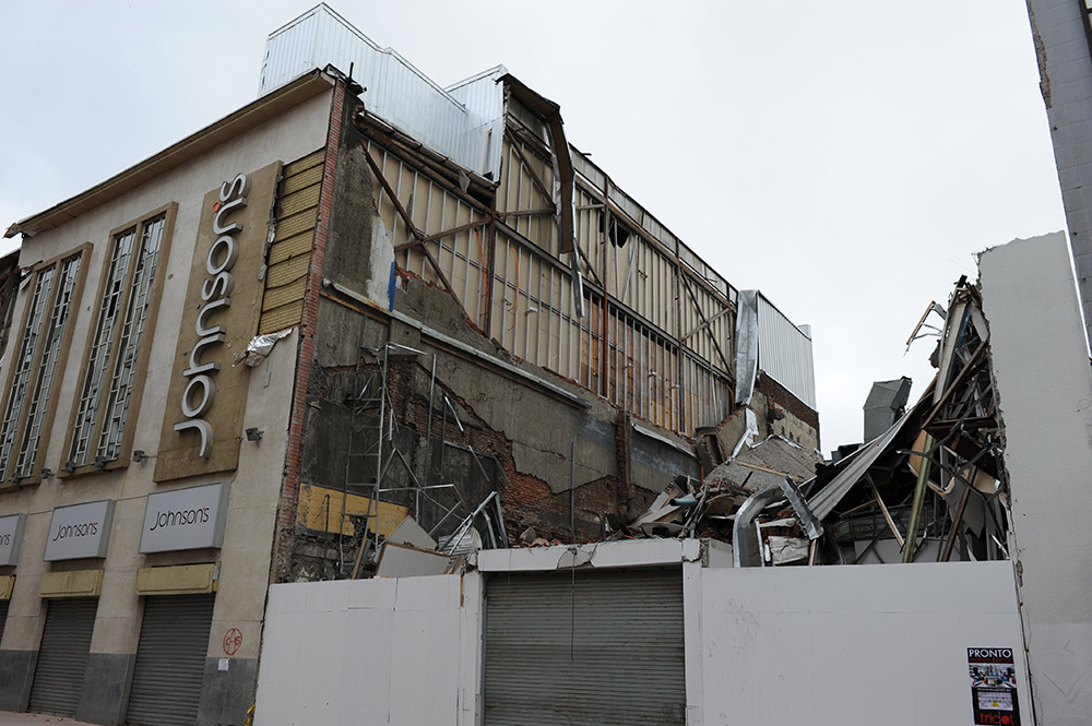
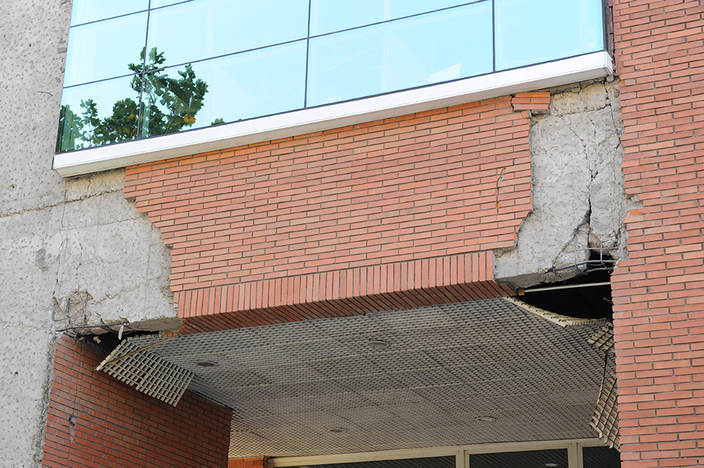
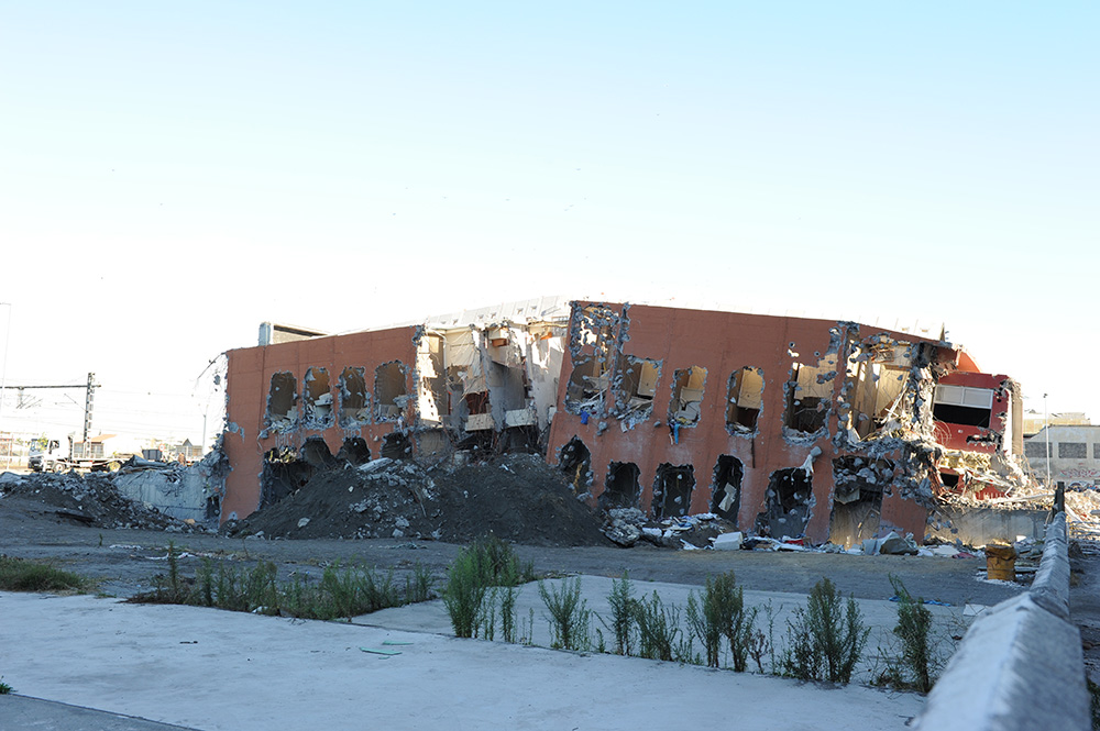
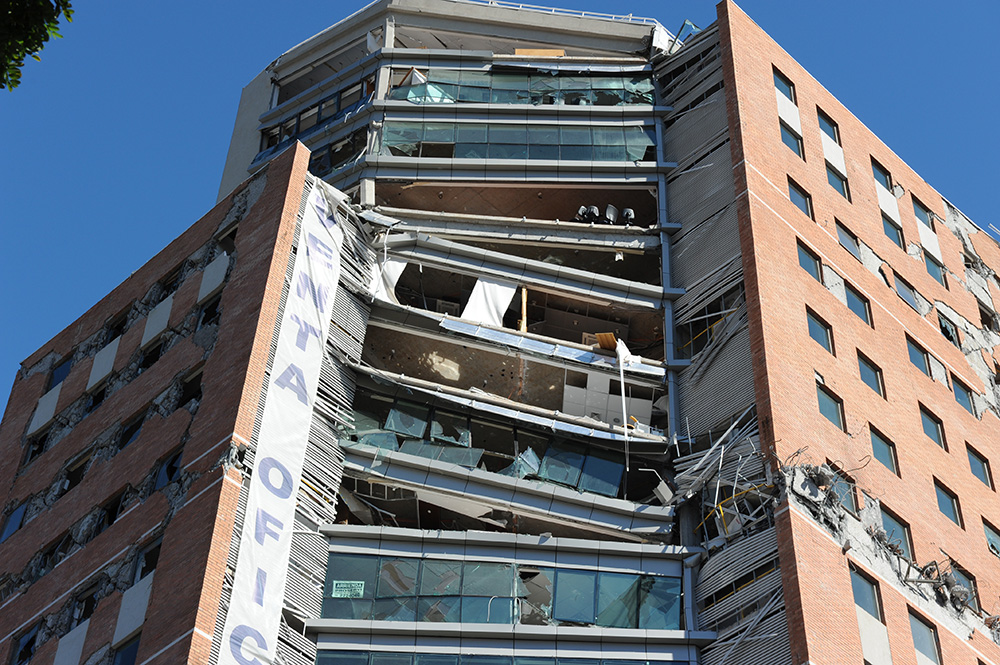
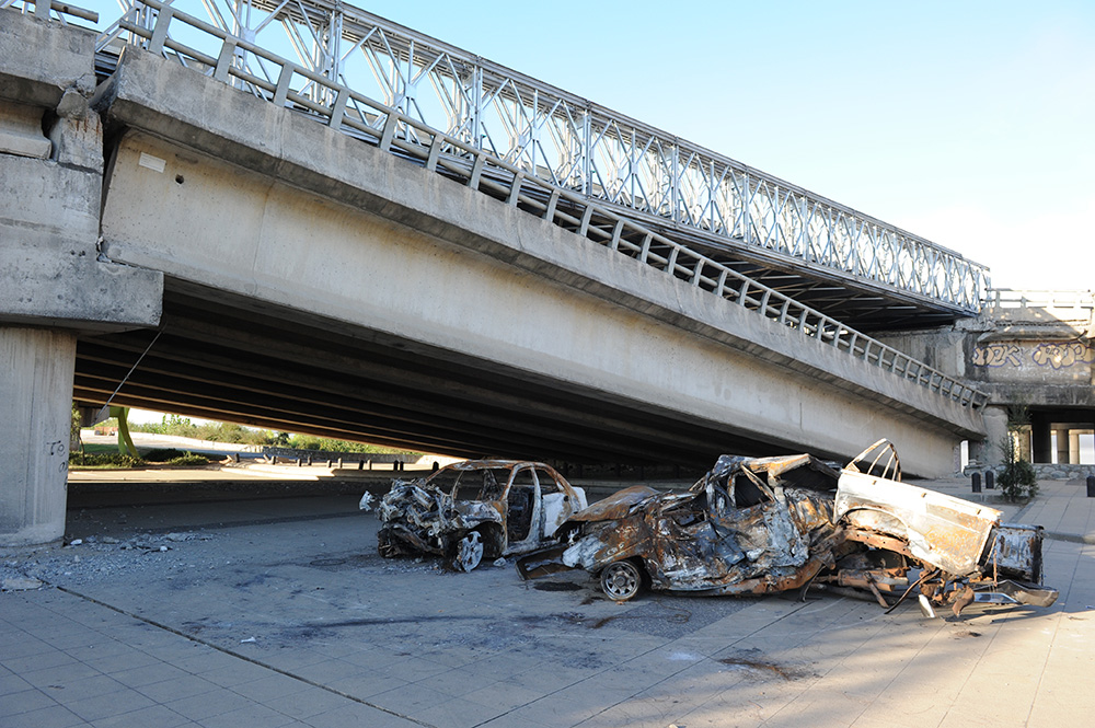
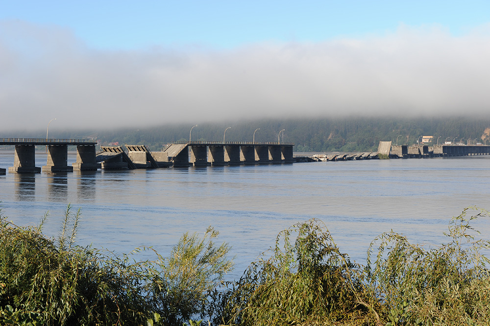
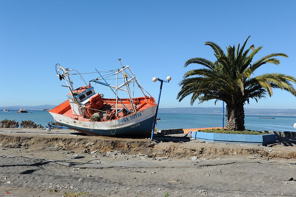
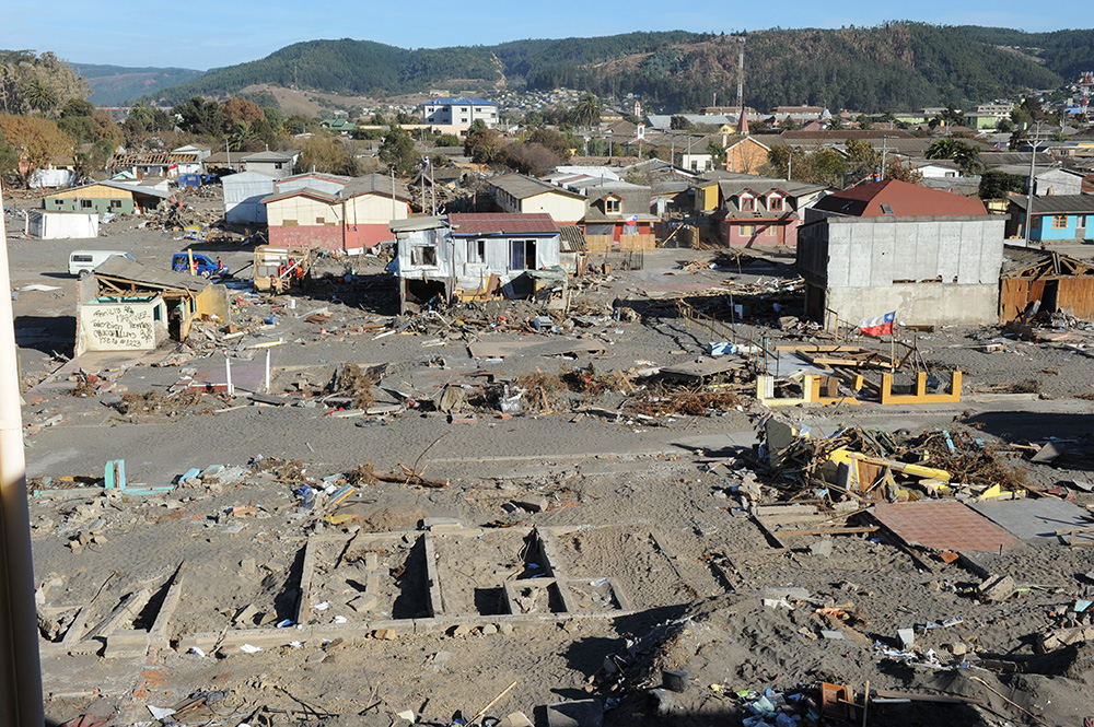
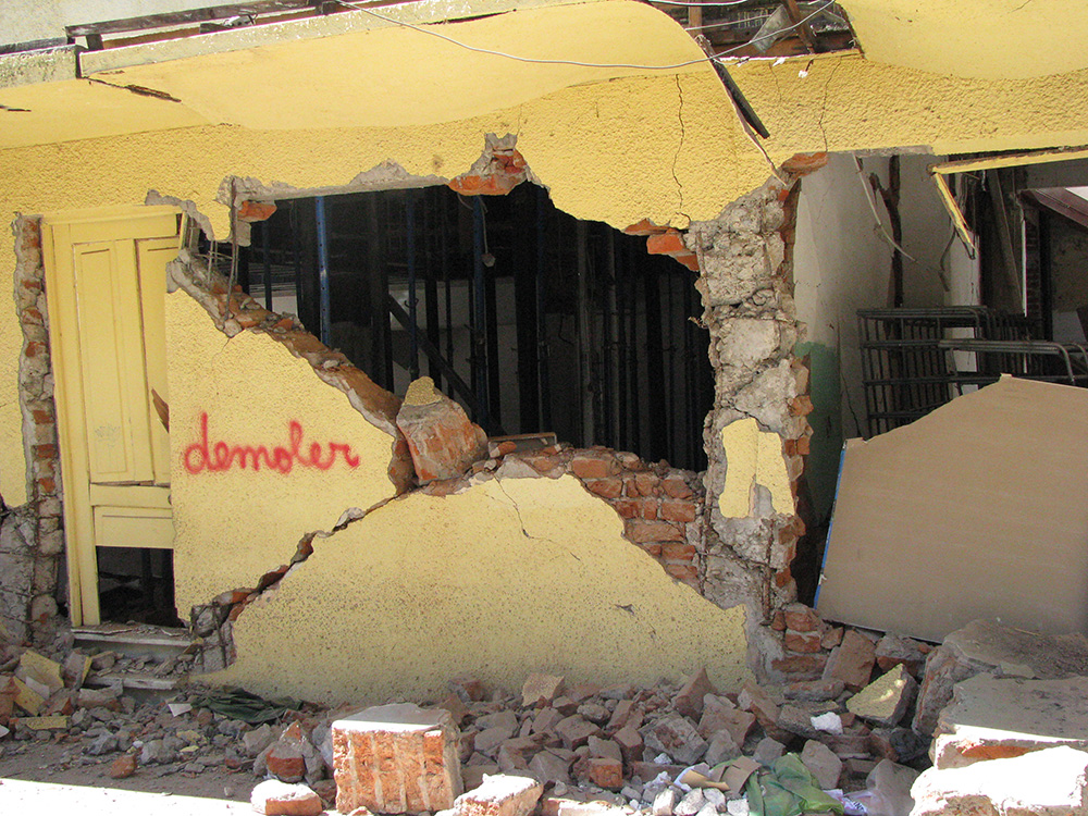
The following is a brief overview of some of the damage we observed:
Conclusion
As a design engineer, it was a humbling once-in-a-lifetime opportunity to participate in this post-earthquake reconnaissance, particularly for an earthquake with many characteristics that parallel the Pacific Northwest.
