
A day in the life as told by Reid Middleton’s Director of Survey Jerry Franklin
I left the house this morning following the car’s GPS voice to find my way to the jobsite. I had already put in my ear bud, so I dialed the office switchboard to say I was on the road.
My toll was automatically charged to an account across the floating bridge, and the clerk quickly scanned my credit card as I was waved aboard the ferry. While I sat on the upper deck, I used my Blackberry to Tweet a few of my friends that I couldn’t go fishing today, though the water looked really inviting. I checked my office e-mail folder from my iPhone and set the out-of-office assistant for the rest of the morning. As the sun broke over the horizon, I arrived at the jobsite, and I immediately set my safety flashers with self-actuating strobe lights. What a joy it was to see the traffic being slowed down by the glare of my safety signs and cones.
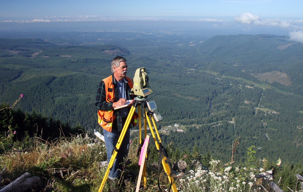
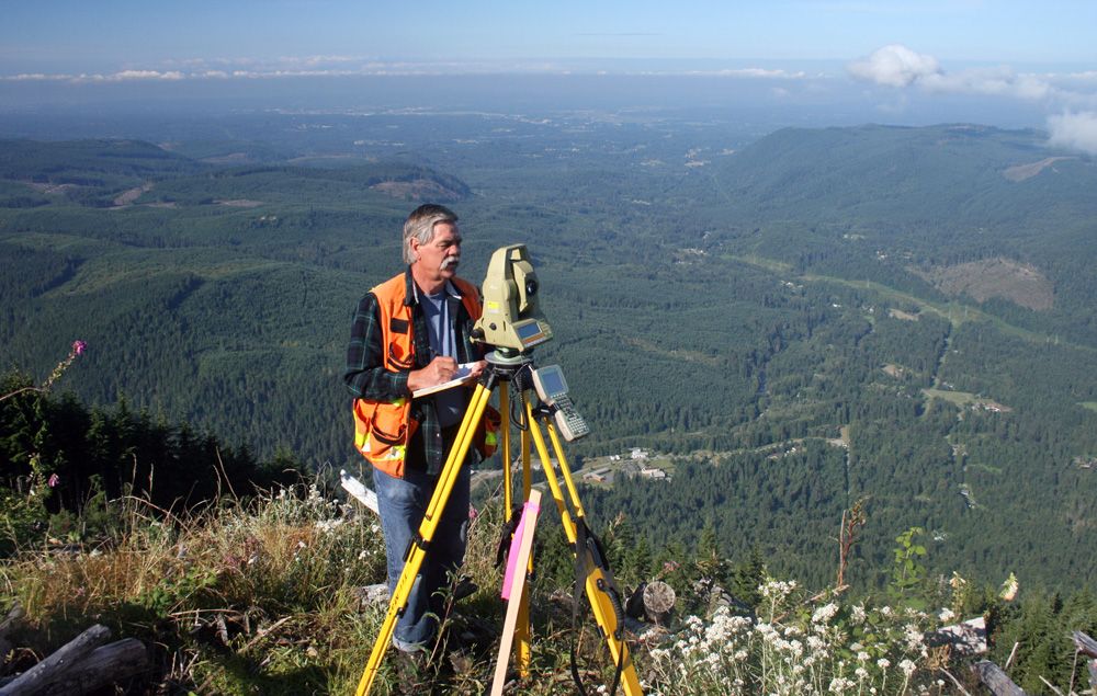
My reflective vest and hardhat felt good on this nice cool morning as I set up my robotic total-station instrument on a random point near the edge of the sidewalk and got my RTN-GPS position immediately. I set up the scan station near the bridge, and I then used my barcode reading level to make a check for the elevation off the site benchmark. I quickly surveyed the ramp and bridge deck with the 360-degree prism connected to my data controller storing all my survey shots.
The simultaneous scanning was working well as I moved to the second control point and finished collecting the 10,000-point cloud under the bridge. As I poured a warm cup of gourmet java from my thermos, it took just a few minutes to transfer all the data from each instrument to my office computer with the wireless Bluetooth connection.
I set the lot corners and stakes from my control points, and after packing everything up, I was headed back to the office. All of this was done before lunch, so I happily ate my sandwich in the office as I ran the one keystroke field-to-finish routine and simultaneously mapped the survey and imagery on my office PC. I sent the map to the plotter. After a complete review, I stamped the product for recording. I decided to call it a day, making a note on my electronic calendar to remember the sunscreen next time. On my way home, I stopped to scan the barcode and paid for my dinner with my iPhone at the grocery store. As I sat down to the high-definition television, the remote automatically started at the sports channel. Wow, what a day! Later, I read the latest survey magazine on my Kindle. I must have fallen asleep in my vibrating recliner to ocean waves on my ambient sound headset as I dreamt of how easy surveyors are going to have it in the future.
Okay, it may be time for a reality check. Perhaps this isn’t an exact account of a typical day for me or maybe any surveyor at Reid Middleton. But, I’m not sure it’s that far off.
We can have a gourmet picnic in our lunch box, and we do get to wear the snazziest, brightest vest in town and use fancy gizmos to do the work of three people. While in the field, we work quickly, accurately, safely, and efficiently knowing that on a daily basis we’re the professional face of Reid Middleton.
Technology has led us a long way from the original surveyors in Washington who brushed line through 10 miles of steep forest in a day, scaling the mountains and streams with a team of experienced surveyors, laymen, map makers, compass men, axmen, cooks, and mule tenders. At a whopping $10 a mile, those men and women did hard work in difficult conditions. Many of the same survey techniques are still used in different ways today.
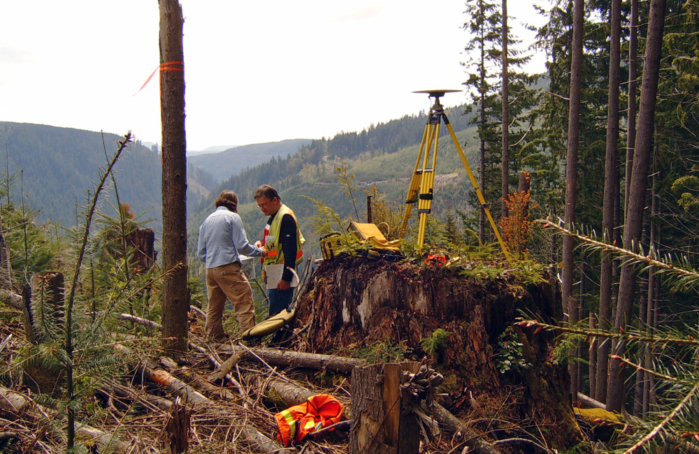
At Reid Middleton, we still lay out what land a person owns. We still set the stakes to build the roadways, airports, and public and private buildings. We still map the waterways. We still protect the survey monuments and study the history and legacy of the surveyors before us.
We may work under a different set of challenges than our predecessors; technology has pushed everything to immediate answers and instantaneous results, and environmental and conservation concerns now play a major role in our profession. But, we still measure and map the land and chart the changes on the ground and beneath the waters. We face those same tides, mountains, oceans, and rivers that must still be crossed and measured as before.
We surveyors will always feel that link to our storied past. We can also dream about that perfect day in the life of some fictional modern surveyor.