
Surveying
Building Square One
Whether it is determining boundary lines, mapping utilities or generating contours, a successful project starts with what is on the ground today. Reid Middleton surveyors use precise instruments and a love for research to ensure your project is based on reality.

Set Your Site
Details About our Survey Practice
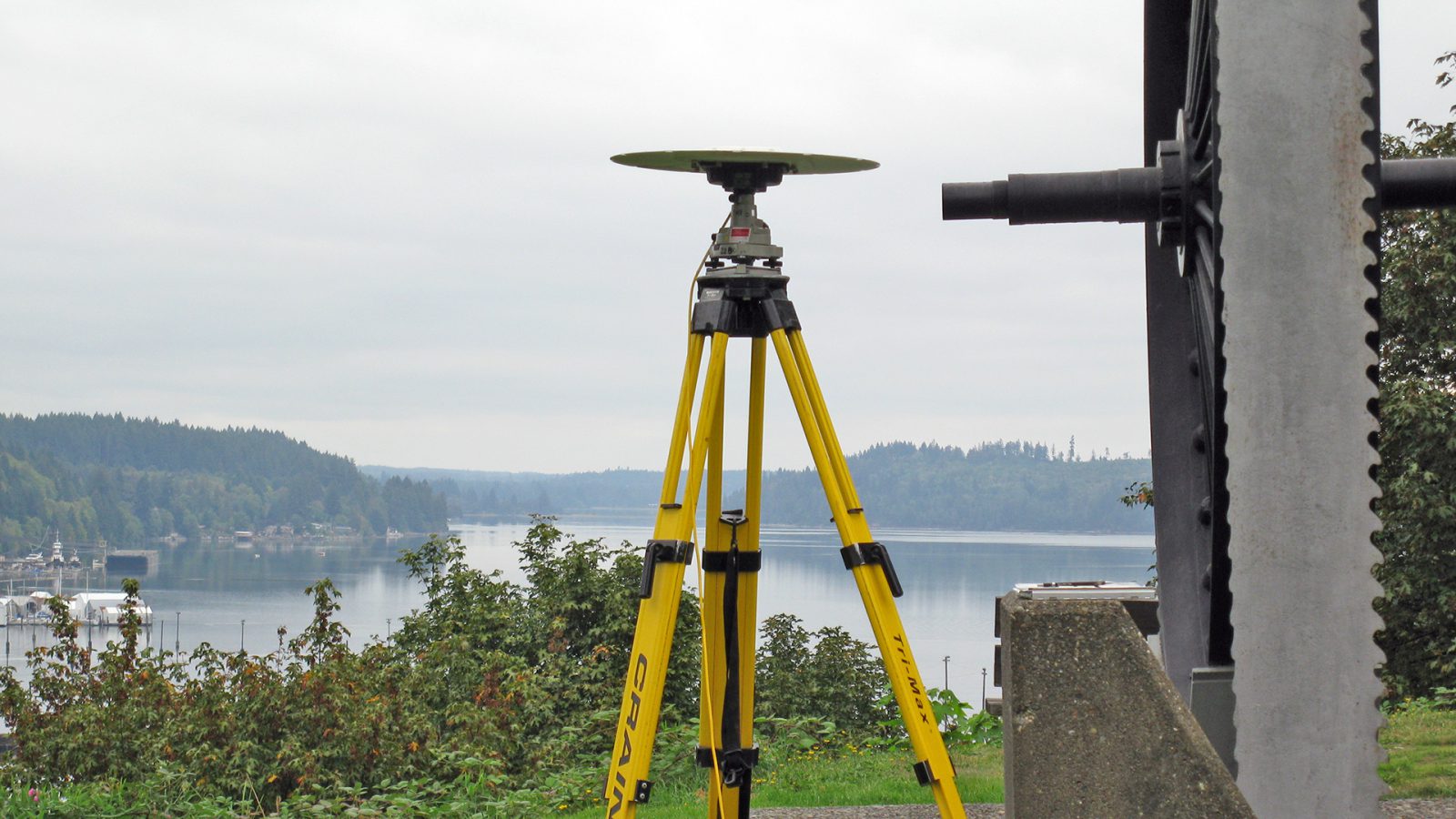
Accurate surveys and maps smooth the way for the design process. Reid Middleton surveyors deliver precise and timely results. We perform surveying services for roads, highways, utilities, airports, waterfront facilities, and private and commercial developments.
With more than 70 years working on survey projects across Washington state, Reid Middleton has established itself as one of the Pacific Northwest’s premier survey firms, recognized for leadership and technical expertise. We believe a successful project begins with an accurate understanding of the existing conditions. Reid Middleton surveyors work with project stakeholders and the design team to understand project requirements and appropriate services. Our surveyors can help at any stage of your project, whether your project is in the early stages of planning or under construction.
When easements are granted to different entities over several decades, and on top of or cross each other, it’s frustrating and confusing for any client. Reid Middleton surveyors helped Rick, our client PM, get all of the easements relinquished; we were a constant source for him to help clarify and explain what easement belonged to whom and where.
Thank you for taking care of this, your efforts are greatly appreciated! It’s been great working with you and the Reid Middleton team.
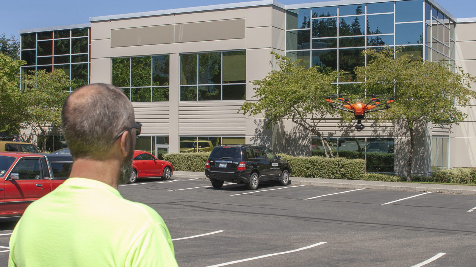
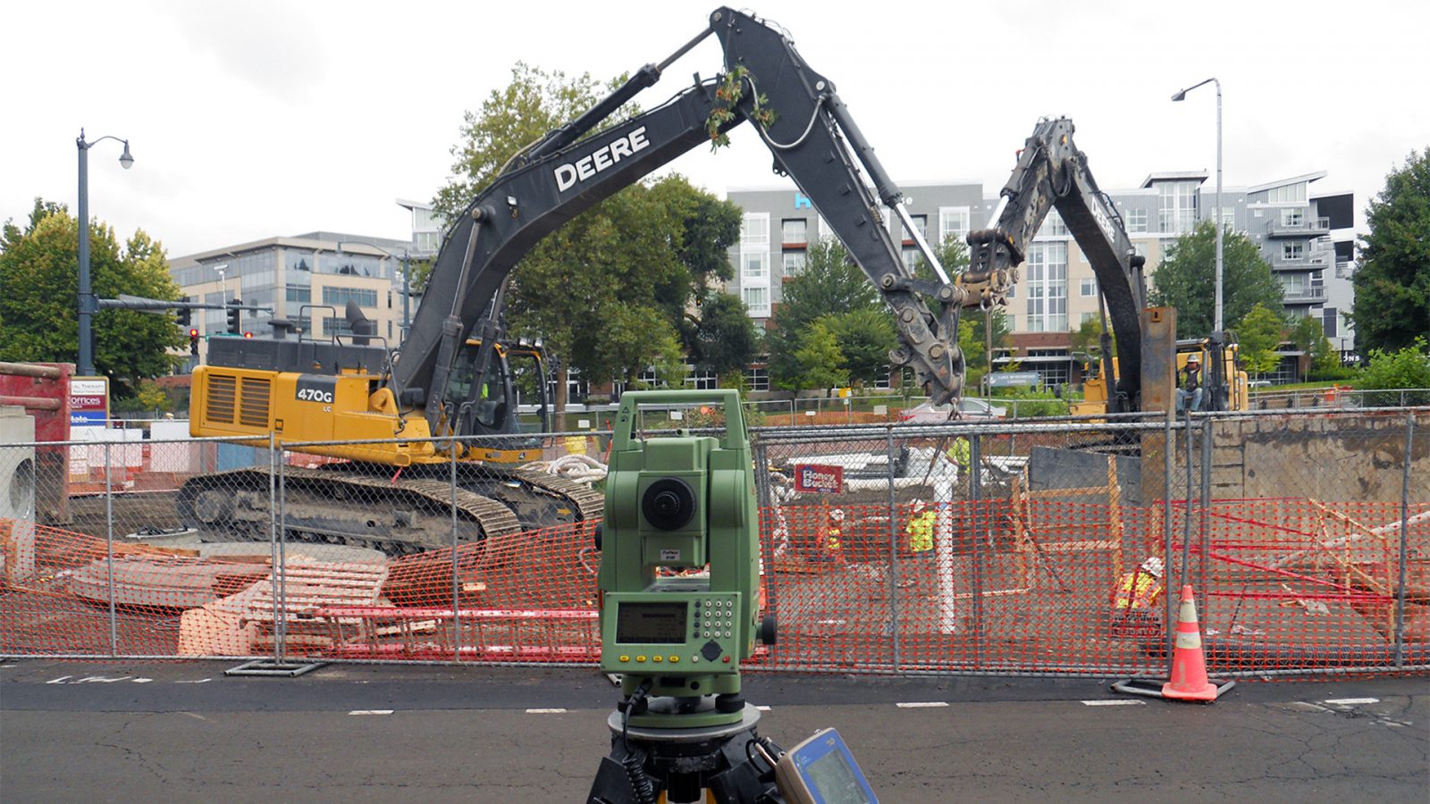
Working with a range of technologies from digital levels to robotic total stations and UAV/drones equipped for photogrammetry, we have the right tools for your project. We regularly perform topographic and as-built surveys, boundary surveys, UAV based photogrammetry, GPS control, construction layout, legal description interpretation, boundary analysis, and prepare legal descriptions and survey drawings of all types.
How we can help you
- UAV/Drone Surveying/Mapping
- ALTA/NSPS Land Title Surveys
- Base Mapping
- Boundary Surveys & Boundary Line Adjustments
- Tideland Boundary Surveys
- Commercial Land Surveys
- Construction Staking & Monitoring
- Expert Witness Information
- Flood Elevation Certificates
- GIS
- Land Use Surveys
- Legal Descriptions & Easements
- Plat & Legal Description Preparation
- Pre- & Post-Construction As-Builts
- Quantity Surveys & Volume Calculations
- Record of Surveys
- Right-of-Way Surveys
- Topographic Surveys
- Utility Mapping