
We all know that the best way to do any project is to have plenty of time to plan things through from start to finish. Ideally, we would be able to go through every detail prior to starting the work and hopefully have no surprises along the way. Unfortunately, in surveying, this doesn’t always happen. Clients might need surveying services at the drop of a hat for a number of reasons. These might include: completing due diligence on a potential project, the need to have work completed before a specified date, various types of emergencies (natural or man made), and changing conditions on a construction site. Fortunately, having the latest technology in surveying allows us to often start within hours of a call.
Land Surveying Gone High-Tech
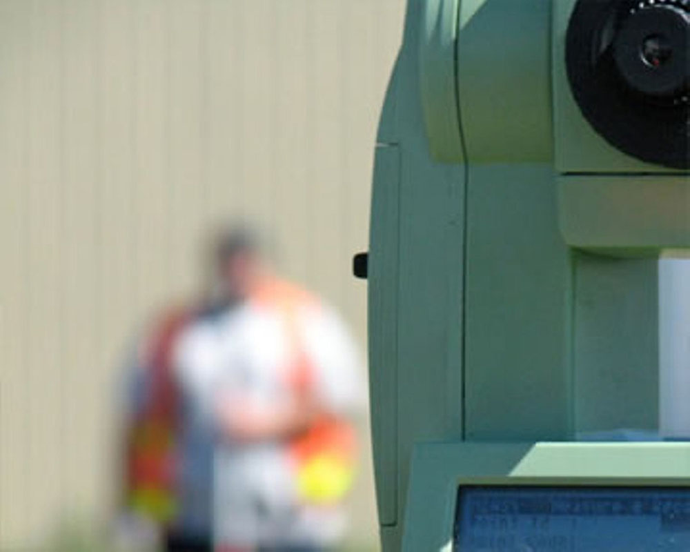
With GPS networks within the Puget Sound area, we can quickly establish horizontal and vertical control at most sites. Using robotic instruments, GPS (RTK) or laser scanning, survey crews can now start producing data for mapping within a few hours of arriving on site. Technological advances in the surveying world over the last 20-30 years have kept us all on our toes! Our equipment allows us to survey ground features, soffits above, and areas where access is limited. We are still able to produce quality information by using laser scanning and reflector-less equipment that allows collection of survey data without a second person in the field to hold a reflector. The field data can quickly be turned into either conventional mapping or 3D modeling by using the latest software specifically developed for surveying. 3D modeling allows us to look at sites and items from different angles & directions letting us see any areas that may require additional information to show the required detail.
The Future of Surveying
New technology continues to be developed and used in the surveying industry, making it a great field for those entering the workforce. For example, many firms are currently working with U.A.V.’s (unmanned aerial vehicle) for inspection work, photogrammetry and laser scanning with the larger U.A.V.s. Using an on-board GPS system the U.A.V., along with ground control points can either film or scan the area so we can determine it’s horizontal and vertical location. Firms working with U.A.V.’s are beginning to find numerous ways to use them in the surveying and engineering world. We can expect to see increased utilization of U.A.V.’s within the surveying field as they become another valuable tool for our industry.
I’ve been working in the survey business for close to 40 years and have come to expect continuous technological advancements and transformations. I am sure the industry will remain on the forefront. It is funny still, from time to time surveyors hear from people that think we just stand in the street and take pictures. How wrong they are!